![]()
![]()
|
|
|

Click on the Help icon

to view DTN Market Tracker help details.
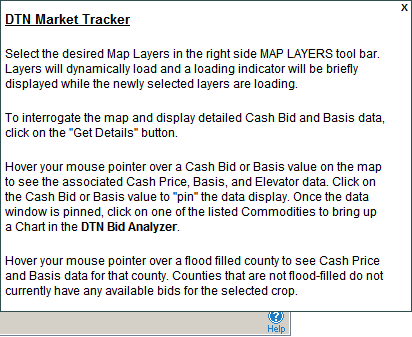
Click on the X in the upper right hand corner to close the help window.
Select Tools

to expand the tool list.

Measure distance and direction between two points.
Select Tools > Distance


then click on the map to enter the first point.

Click again to enter the second point and read the distance and direction.

Display range rings around a selected point.
Select Tools > Range Ring


then click on the map to view the range.
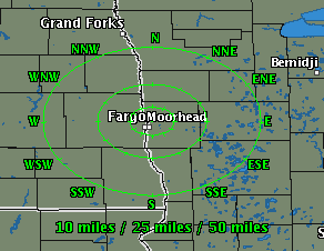
Starting with the innermost ring, the range shown is:
|
Zoom Level |
Close |
Middle |
Far |
|
Regional |
50 |
100 |
150 |
|
Subregional |
10 |
25 |
50 |
|
Metro |
5 |
10 |
15 |
Range rings are not available at the national zoom level.
Click Range Ring again to turn it off.
Select Map

to expand the tool list.

Select Map > Add Favorite to add the current (customized) map to My Favorites.


The map will be available in Weather > My Favorites.
To learn more about managing your weather favorites, see My Favorites.
Select Map > Print to print the current map.


Select Full Screen to view the map at its maximum size.

To return to normal viewing, click anywhere on the full screen.
Display additional details about data displayed on some layers.
Click Get Details

then hover the mouse over a location on the map to see the details.
Examples of available details are shown below.
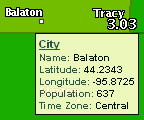
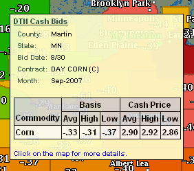
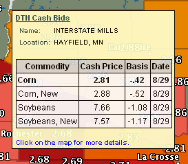
When you access the desired location, click on the map to view more details.
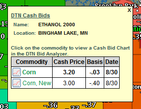
If you selected an elevator, you can click on a commodity in the table
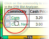
to view a cash bid chart in DTN Bid Analyzer.
Use the Zoom tool to adjust the map view.
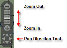
To move the zoom tool, click on the tool with the mouse and drag the tool to its new position in the image.