![]()
![]()
|
|
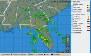
From Local Radar select Map Layers
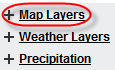
to expand the tool list.
|
|
Multiple selections will require more time to load.
Some layers are only available when zoomed-in.
Mouse over the symbol to view legend details.
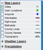
Labeled cities.
See Weather Details Cities and User Locations for more information.
|
|
|
|
Locations you have set up in your account.
See Weather Details Cities and User Locations for more information.
|
|
|
Larger airports. Labels are available at closer zoom levels.
See Weather Details Airports for more information.
|
|
|
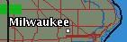
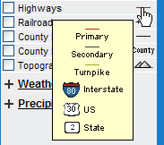
Interstate highways with labels.
|
|
|
Major U.S. and state highways.
|
|
|
Major railroad lines.
|
|
|
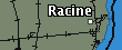
County and Parish borders.
|
|
|
|
|
|
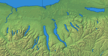
Topographic image representing elevation across the United States.
|
|
|
|
|